


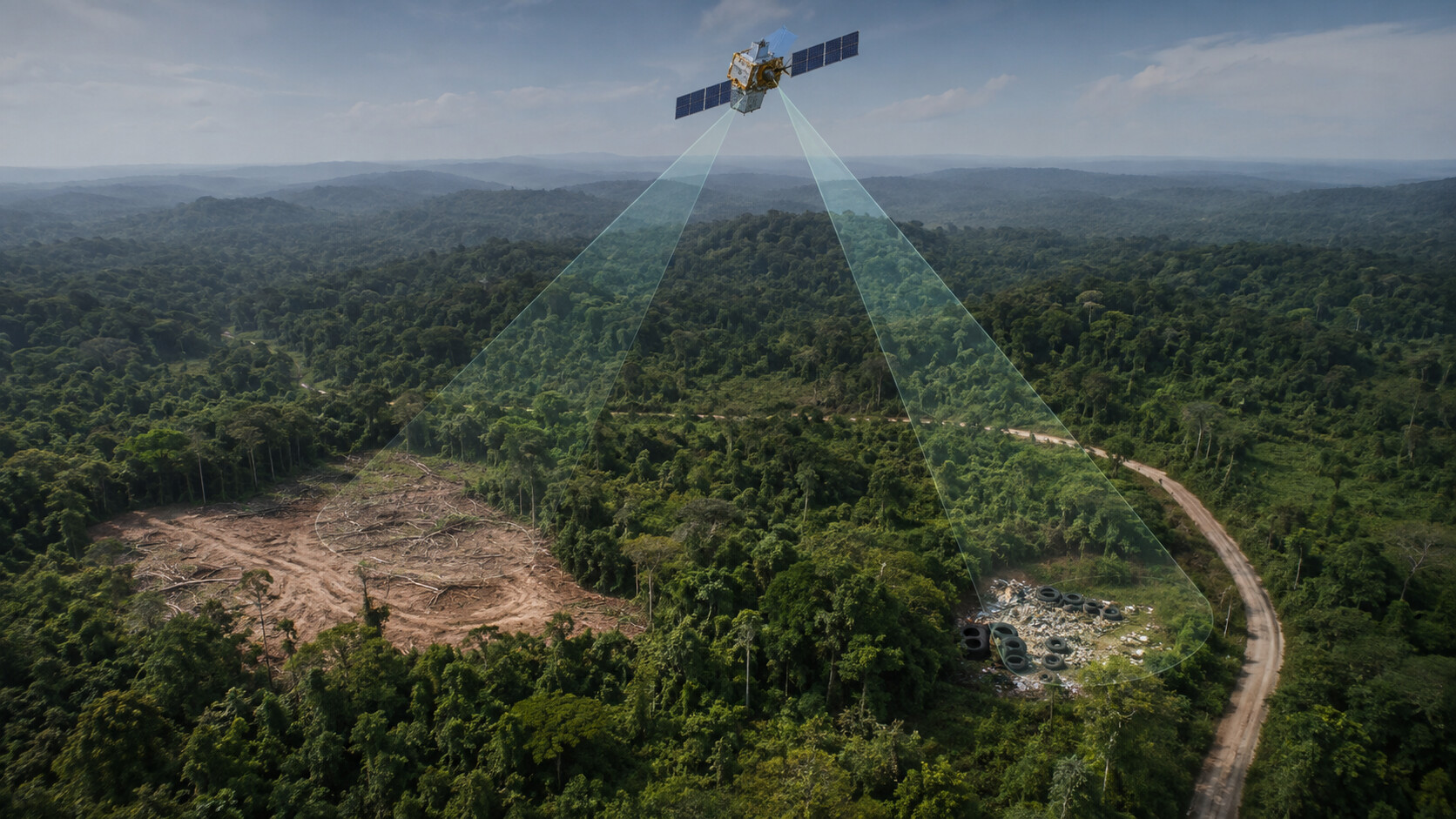
Environmental crime detection has always been expensive because proving an environmental crime is the difficult part.
Someone has to reach a remote concession, or be told which field to inspect.
That expense, far more than official indifference, is why illegal logging and illegal dumping have been so hard to stop.
Satellites and machine learning cut that expense, though not all in the same way. The four projects below fixed four separate failures: not knowing where to send inspectors, not seeing through cloud without SAR images for all-weather monitoring, not knowing a site existed, and not getting the warning to anyone who could use it.
Brazil: Environmental Crime Detection and Knowing Where to Send the Agents
IBAMA, the Brazilian environmental agency, is responsible for five million square kilometers of the Amazon. It has a few thousand staff. Before 2004, it worked from annual surveys, so a clearing was usually a year old before anyone could put a finger on the map. Officials knew the forest was going. They just didn’t know where, soon enough to matter.
INPE’s DETER system changed that. It reads MODIS SAR imagery at 250 meters per pixel, too rough to pick out a single tree because one pixel covers almost six hectares, and nothing under roughly 25 hectares registers. But MODIS passes over the needed piece of land almost every day, and that was a solution. Analysts check each flagged polygon, sort it into clear-cut, degradation, cloud or residue, and confirmed ones go daily to IBAMA’s monitoring center, where they become that week’s targets.
It worked. Economists at the Climate Policy Initiative calculate that enforcement driven by DETER prevented the loss of more than 59,500 square kilometers of forest between 2007 and 2011. Brazil recorded 5,796 square kilometers cleared in 2025, its lowest figure in eleven years.
Radar and Neural Networks: Seeing Through the Clouds
Optical satellites are almost useless when they work over the tropics. Clouds sitting over the Congo Basin and insular Southeast Asia almost permanently hide locations where illegal logging concentrates, and one missed pass can mean weeks of blindness. Logging crews understand this perfectly well.
Radar doesn’t care about weather, because it brings its own light. Sentinel-1 fires microwave pulses at the ground and listens for what comes back, at night, through clouds, in any season. A standing canopy bounces those pulses around and sends back a strong, characteristic return. Take the trees away, and the return drops off.
The problem is that nobody can see this. A SAR image is a grainy mess of speckle, and a fresh clearing inside one looks like very little at all. So the model does the looking. It learns how each pixel has behaved across years of repeat passes, picks out the ones breaking their own pattern, and grows more confident with each later pass instead of staking everything on one image. Neural networks trained this way now spot Amazon clearings in near-real time with accuracy between 81% and 89% when checked against Brazil’s official surveys.
Brazil runs this operationally as well. DETER-R works through Sentinel-1 data every day and pushes disturbance polygons straight to enforcement. In its first year it issued 88,572 warnings. Human checking found that under 0.2% of the flagged area was a false alarm.
Lombardy: Finding the Dumps Nobody Reported
Waste is a different animal because it is not as obvious as logging; it is small, it doesn’t move, and nobody files a report about it, which leaves an agency with no way of knowing what it has missed. ARPA Lombardia looks after 24,000 square kilometers and for years mostly waited for complaints. Dumps are visually chaotic too: tires, rubble, shredded plastic and scrap metal, tipped into yards, old quarries and ordinary fields.
Politecnico di Milano and ARPA built a detector aimed squarely at that chaos. The AerialWaste dataset gathers 10,434 images — half-meter AGEA orthophotos, WorldView-3 scenes, Google Earth captures — of which 3,478 are confirmed waste sites, labeled by professional photo interpreters with the waste type and the severity of the offense.
The model is a convolutional neural network based on a ResNet-50. Each scene answers if there is any waste in the image or not. What makes it usable is the second output. Class activation maps show which pixels pushed the model toward its answer, so an inspection tool ranks candidates by confidence and points an analyst at the right corner of the frame. The result is a work queue rather than a number.
Peru: Getting the Alert to Someone Who Can Act
A study in Nature Climate Change found that free GLAD deforestation alerts reduced deforestation by roughly 18% in Africa and did nothing measurable in South America. Same alerts, same speed. But what’s the reason? The alerts were identical. The difference lay in whether anyone received and used them.
In Loreto, in the Peruvian Amazon, Rainforest Foundation US closed that gap. Alerts derived from 30-meter Landsat imagery arrive weekly through Peru’s Geobosques portal and land on smartphones, read through the Forest Watcher and Locus Pro apps. More than 110 elected monitors across 36 Indigenous communities were trained to interpret an alert, walk to the coordinates, confirm what is there, and bring back evidence and GPS points for community assemblies and formal complaints.
The PNAS study records that during the first year of this type of monitoring, there was a 52% drop in deforestation in the first year and 21% in the second year compared with communities that did not adopt the indigenous monitoring strategy.
What Environmental Crime Detection Systems Have in Common
Each system converted a suspicion into a coordinate that any person could act on within days. Brazil solved targeting, radar solved observability, Lombardy solved discovery, and Loreto solved delivery.
That is what lets environmental crime detection spread. Screening has become cheap enough to cover a whole territory, so money goes only where a model has raised a hand. From December 2026, European Union law will require large importers of timber, soy, beef, palm oil, cocoa and coffee to supply the geolocation of every plot their goods came from and show it was not cleared after 2020.
The satellites are up, the models work, and most of the data is free. What is left is administrative: deciding who receives each alert, and what they are allowed to do about it.

